-40%
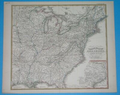
1874 ORIGINAL MAP UNITED STATES TEXAS VIRGINIA NEW YORK ARKANSAS ILLINOIS IOWA
$ 25.86
- Description
- Size Guide
Description
THIS IS AN ORIGINAL MAP, NOT A RECENT COPY OR REPRODUCTION.Origin of the map: "Stieler's Hand-Atlas ..."; carth. by Stulpnagel, publ. by Perthes Justus, Gotha (Germany). HAND COLOURED.
Date of issue: 1874 (dated map)
Size: The sheet measures 18 1/2" x 15" (46 x 38 cm).
S/H: The map will be shipped by Priority International Air Mail. The shipping charge is 14.00 USD (
with
the tracking number), or 12.50 USD (
without
the tracking number). If you wish to save 1.50 USD on the tracking number, please let me know
before
you send the payment, then wait for my invoice.
Attention! There is no additional shipping charge for multiple purchases!


