-40%
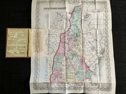
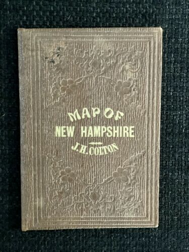
1859 Map of New Hampshire by J.H. Colton
$ 25.84
- Description
- Size Guide
Description
For auction: 1859 Map of New Hampshire by J.H. Colton.In really good condition for its age. There is discoloration in one area (see photos- where it is attached to the book) and a couple of areas of wear (I attempted to photograph as best as possible - please ask for additional photos if you prefer). Booklet measures about 3” x 5”. Unfolded map measures 13 1/2” x 16 5/8”. Color is vivid and true. It was obviously taken care of and folded away neatly. The name Mary E Palter 1860 is written in the booklet along the binding edge - see photo. There is a raised seal in the upper right hand corner of the map. Please ask questions and request additional photos prior to bidding. Payment is due within 3 days of auction close.


