-40%
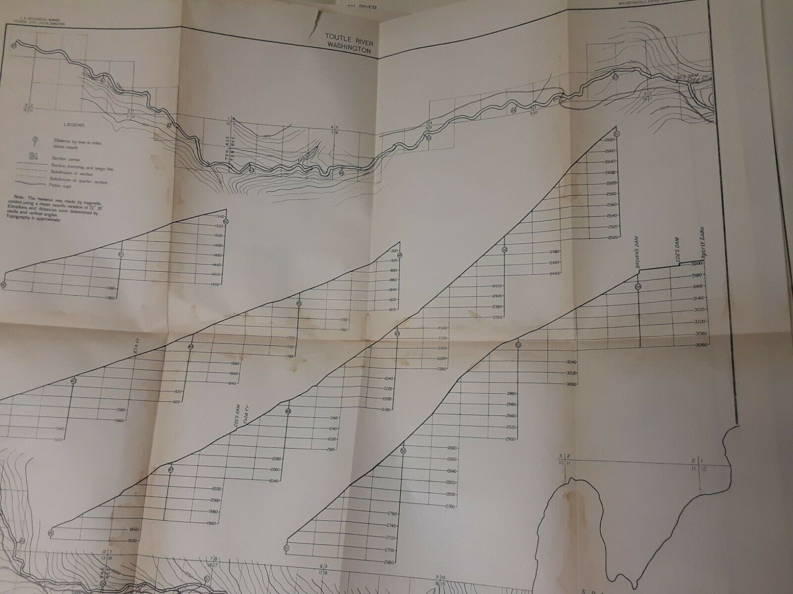
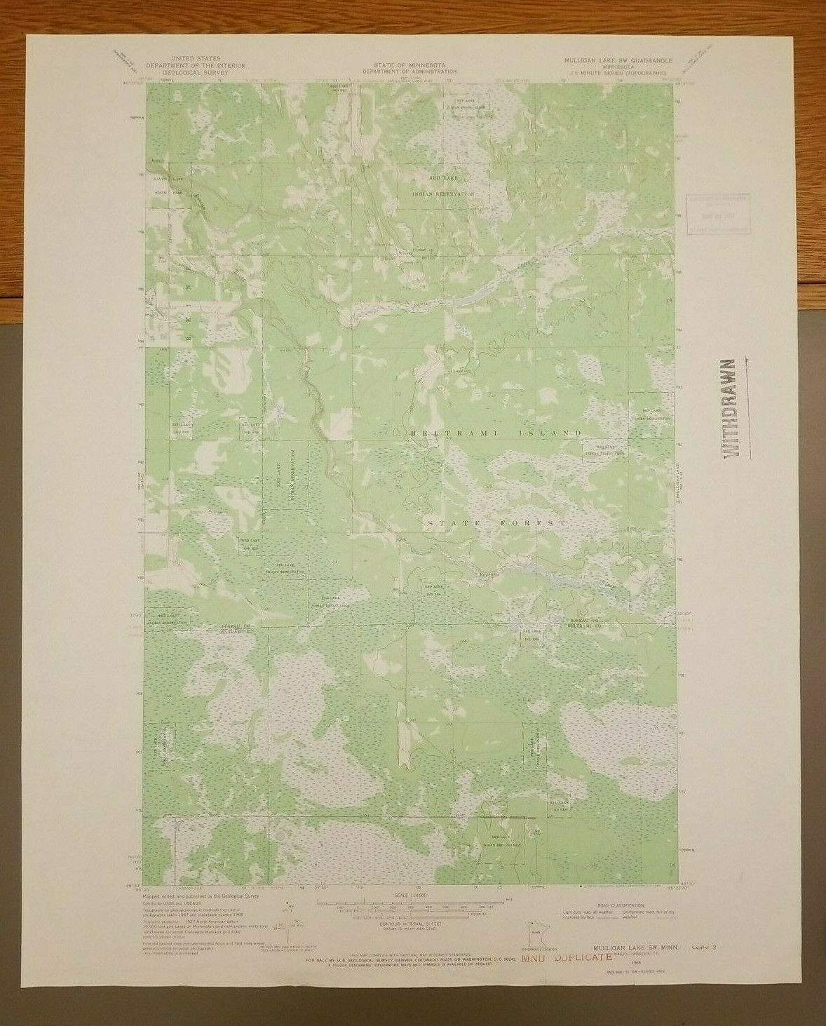
17 Vintage Geological Survey WA State River Basin Maps 1910 Water Supply Paper
$ 18.48
- Description
- Size Guide
Description
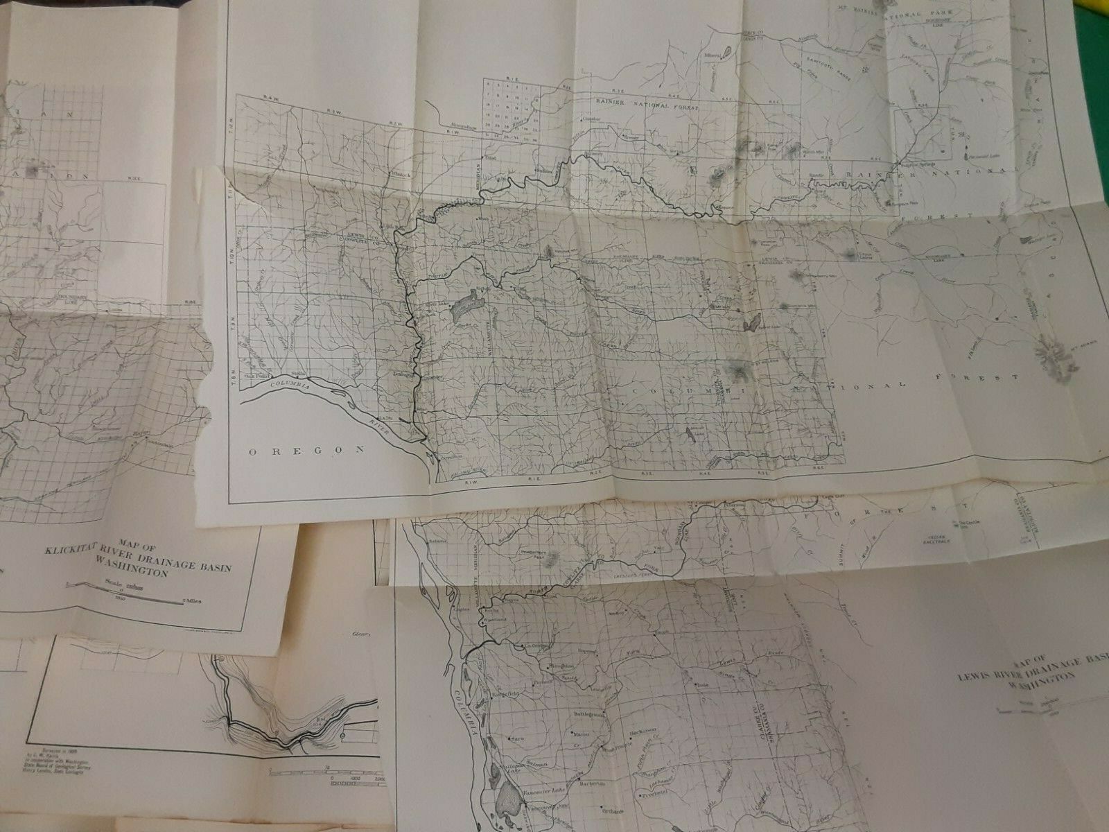
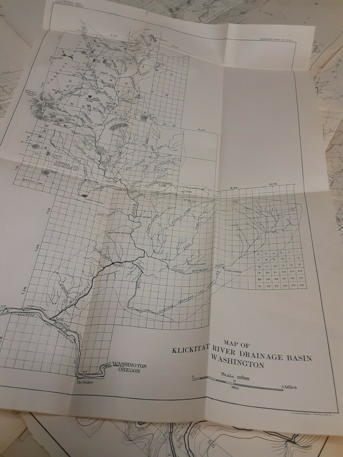
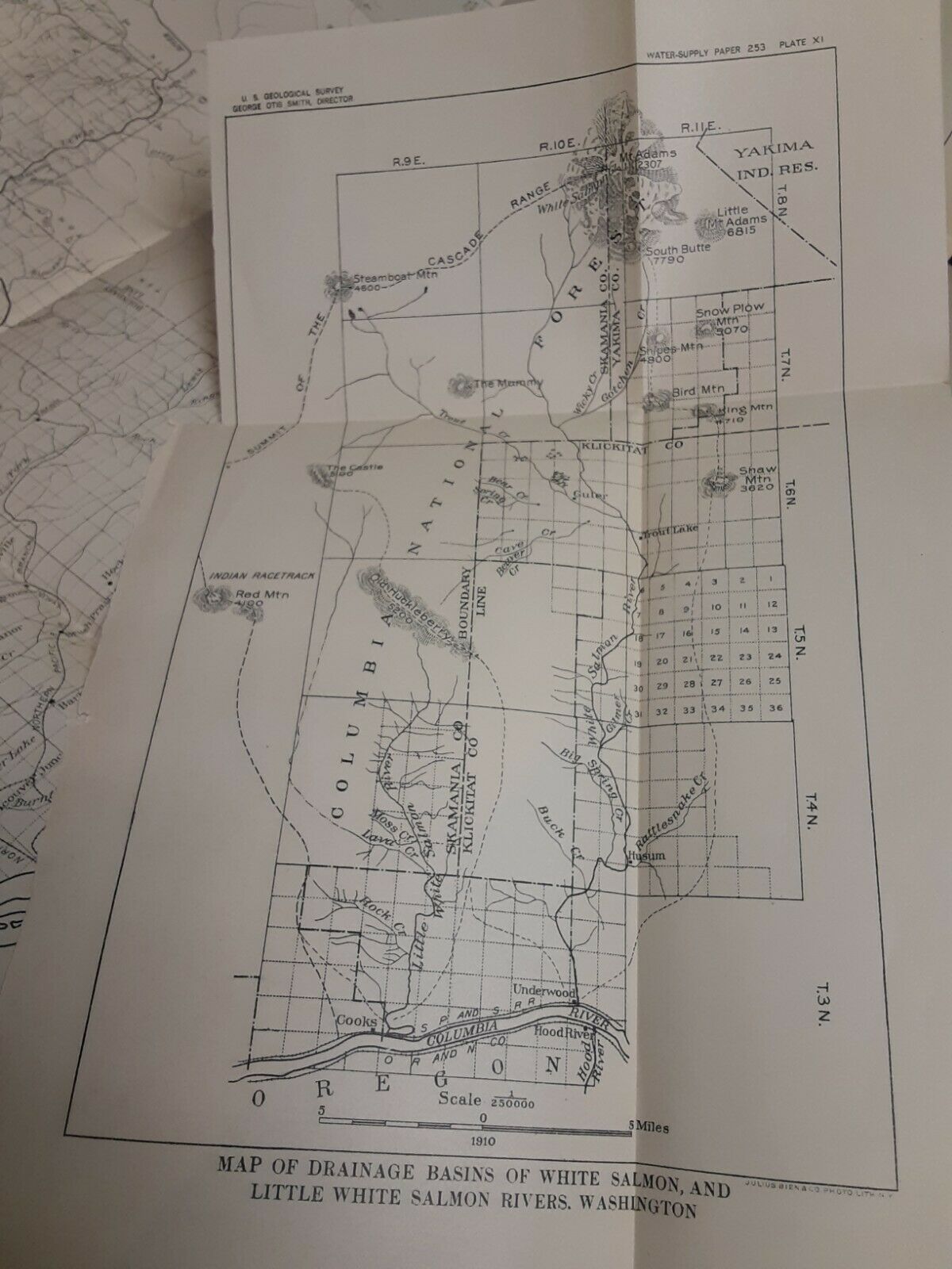
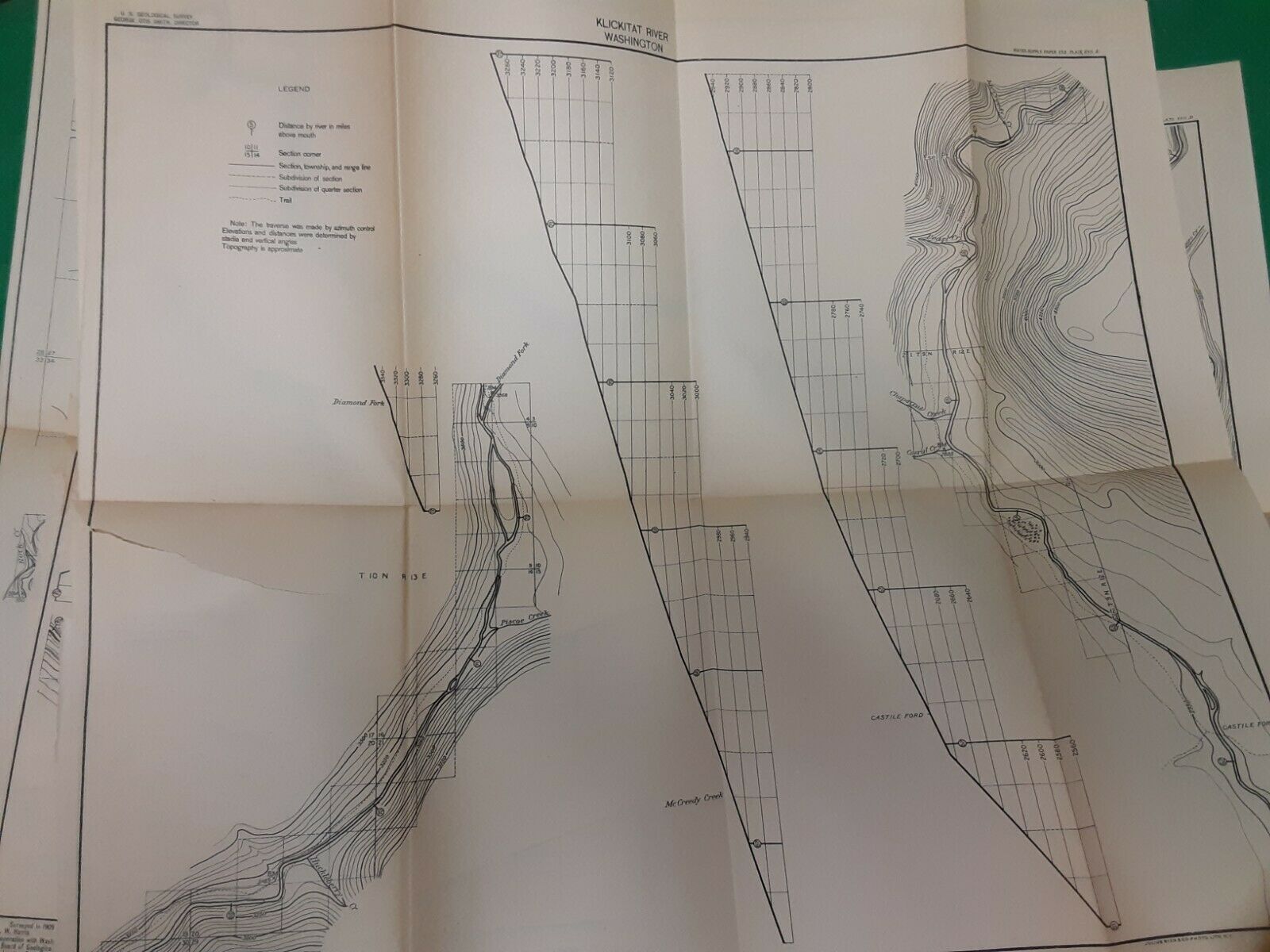
17 Vintage Geological Survey Maps - WA State River Basin 1910 Water Supply PaperMaps are dated 1910; surveys completed in 1909. All are folded, yellowed and brittle from age. Several have small to medium tears at the fold. Left edges show they were previously part of a book/booklet. Maps include the North Fork of the Lewis River, Klickitat, White Salmon, Little White Salmon, Toutle, and Cowlitz.
Please take a look at the pictures and contact us with any questions.
